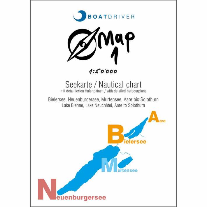

Nautical chart Map 1 / Lake Biel, Lake Neuchâtel, Lake Murten, Aare to Solothurn
⚓ Nautical chart Map 1 / Lake Biel, Lake Neuchâtel, Lake Murten, Aare to Solothurn
⚓ At a scale of 1 : 50,000
⚓ With details such as depth information, petrol stations, slipways etc.
✔️ Large selection & fair prices
✔️ Swiss company with 💙 for nautical
✔️ Fast delivery to your desired location
Choose options
⚓ Nautical chart Map 1 / Lake Biel, Lake Neuchâtel, Lake Murten, Aare to Solothurn
⚓ At a scale of 1 : 50,000
⚓ With details such as depth information, petrol stations, slipways etc.
✔️ Large selection & fair prices
✔️ Swiss company with 💙 for nautical
✔️ Fast delivery to your desired location
⚓ Nautical chart Map 1 / Lake Biel, Lake Neuchâtel, Lake Murten, Aare to Solothurn
⚓ At a scale of 1 : 50,000
⚓ With details such as depth information, petrol stations, slipways etc.
✔️ Large selection & fair prices
✔️ Swiss company with 💙 for nautical
✔️ Fast delivery to your desired location
Product description
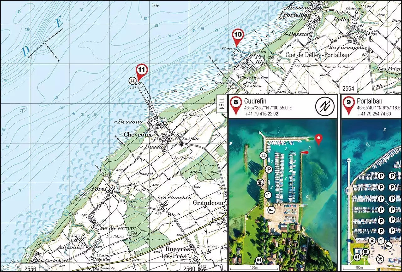
The water map of Lake Biel, Lake Neuchâtel, Lake Murten, Aare to Solothurn. The detailed port plans consist of aerial photographs of the port facilities with infrastructure drawn such as guest space, crane, slip ramp, gas station, waste disposal, harbor lights, toilet, harbor master. In addition, the various bodies of water were provided with depth contours. The coordinates of the ports and also the contact details will help you when visiting a port.
Seekarte Map 1:
Double-sided card in A1 format
4 languages on one card (German, French, Italian, English)
Nautical chart at a scale of 1:50,000 with depth information and detailed harbor plans.
With depth information and detailed harbor plans.
Waterproof, tear-resistant paper

